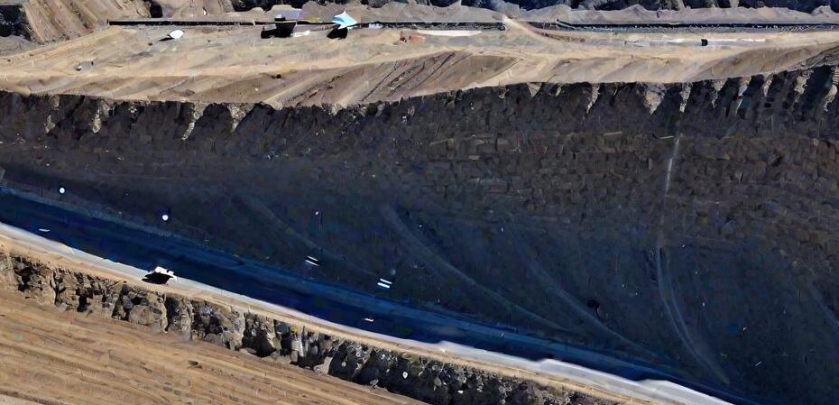
Slope Stability Analysis in Coal Mines Using Drone Photogrammetry

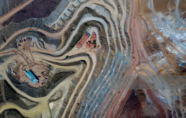
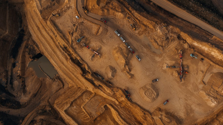
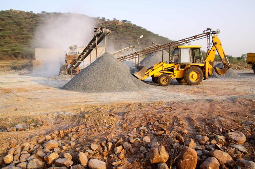
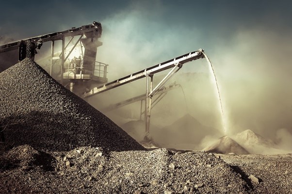
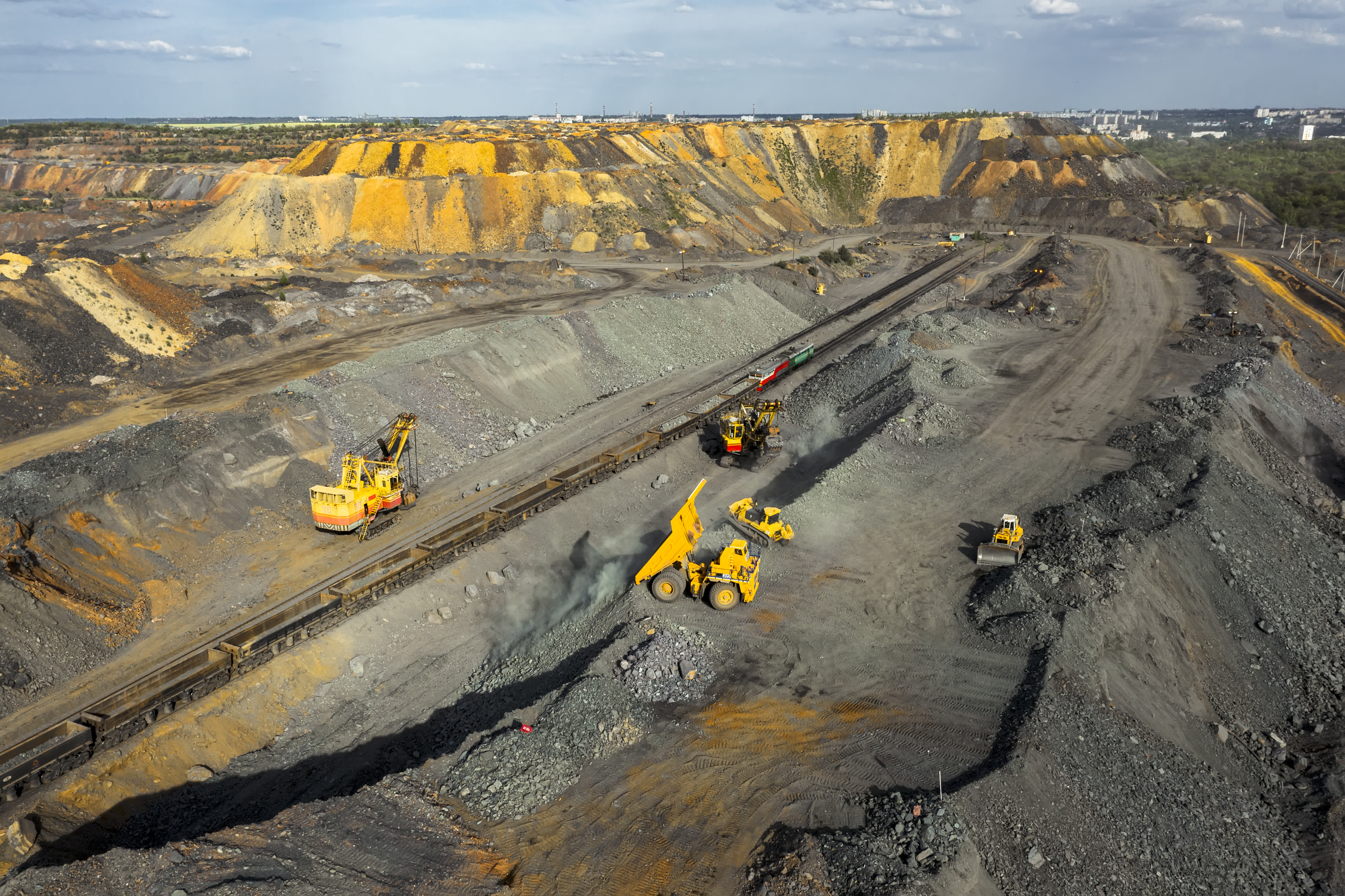
Introduction: Open-pit coal mining stands as a cornerstone of the global energy demand landscape. Yet, the operational prowess of this industry hinges significantly on effective tailings management. The disposal of tailings, the material encasing coal seams, emerges as a pivotal… Read More »Slope Stability Analysis in Coal Mines Using Drone Photogrammetry