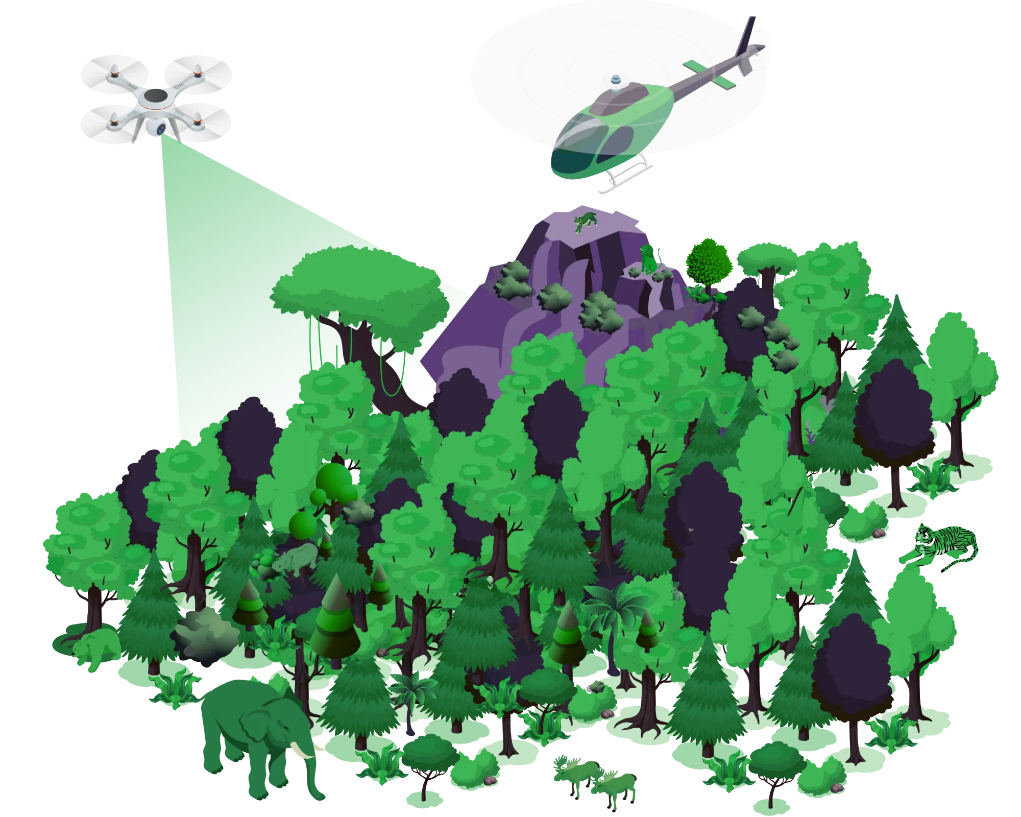
Aerial services for forests & environment
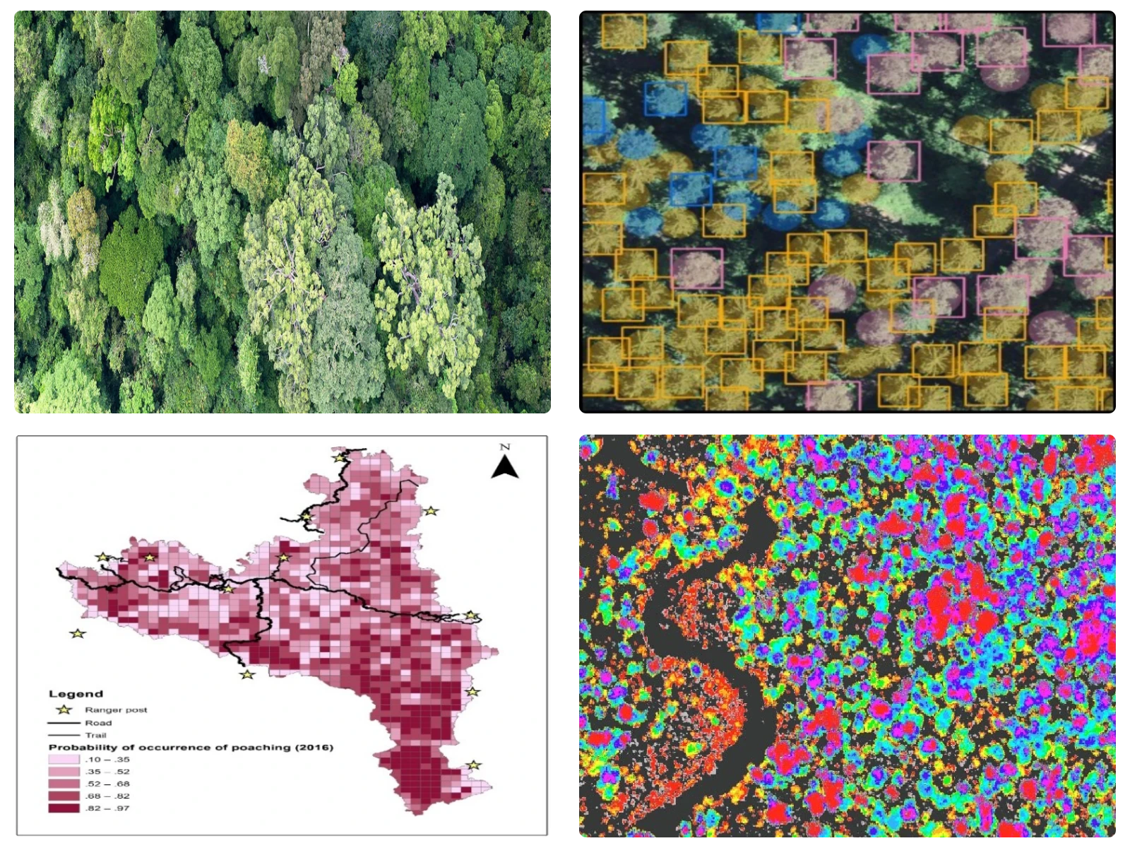
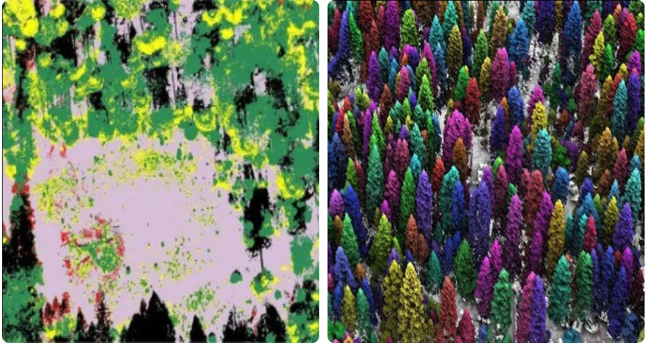
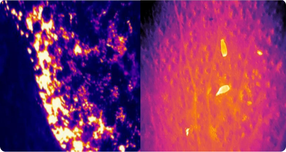
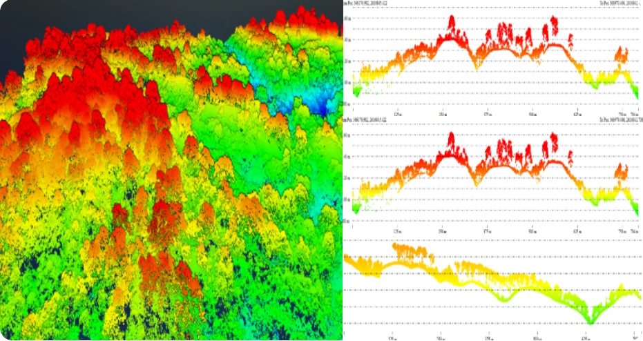
We offer UAV and MAV-based topographical surveys of the forest, mangroves and wetland areas, monitoring of young plantations, conduct tree counting, vegetation health mapping, encroachment analysis, biomass estimation, forest carbon stock mapping, mangrove sapling monitoring, biodiversity mapping, tree species mapping, site suitability planning for afforestation, canopy structure, forest fire management, Wildlife corridor mapping, geofencing, catchment area mapping, burnt area mapping, forest fire tracking and initiation mapping, vegetation mapping of wetland area, change detection monitoring of wetland in near real-time. We use various sensors based on the requirement of the services in forestry (natural and urban), mangroves, and wetlands.
Get in Touch