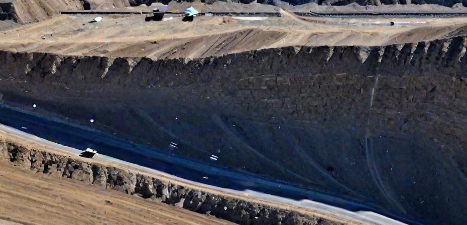
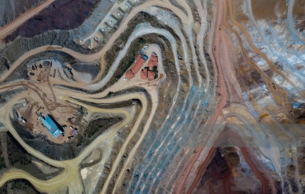
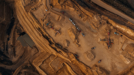
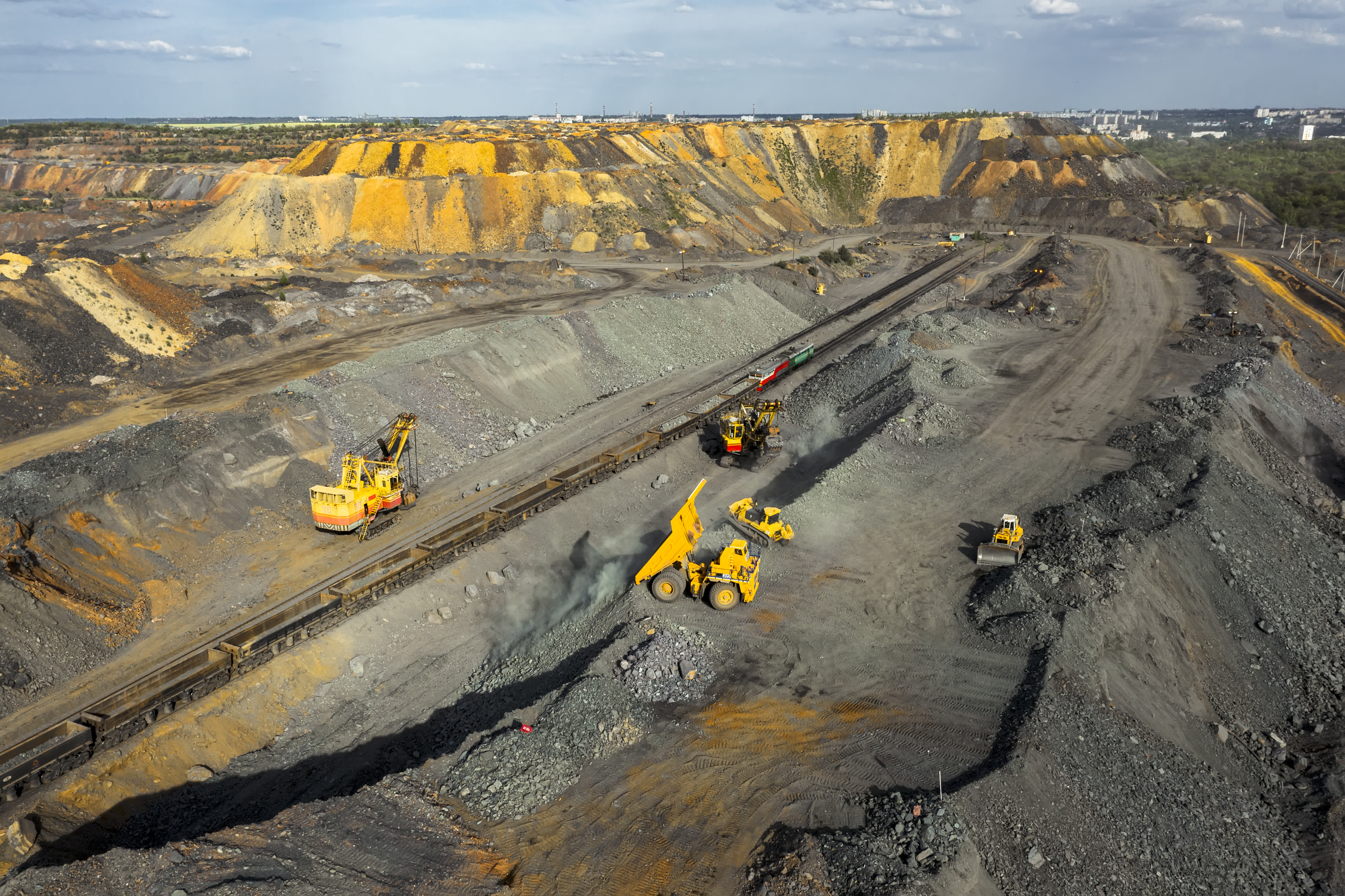
We at GarudaUAV aim to provide support in improving optimization, efficiency and time consumption of day-to-day mining operations. Using aerial-based... Forest ecosystems are regarded as the soul of Earth and makes up 31% of world’sbiodiversity. Conservation and sustainability of forests... A very slick interface and lots of valuable information is waiting for you here at this portal whose goal is... Drone pilots mapping for agriculture can choose from a variety of hardware options. While most begin with the visible spectrum... Quality assurance is of fundamental importance for solar panels. The failure-free operation of the panels is a prerequisite for efficient... The Phantom 4 Pro intelligent flight modes are fantastic and make filming so much easier. The many Phantom 4 Pro... Any defects in the solar panel like swirl defect, cell defects (scratched, cracked or broken cell) or dirt upon the... UAV-based tower inspection reduces the risks and efforts in comparison to the traditional approaches like manually going to the top... Plain area with normal vegetation is simple to be mapped. In this project the main objective was to carry out... Our journey begins at Panipath - Ambala highways. Since this was first project therefore we were excited as well as...Software based Aerial Services for Opencast Mining
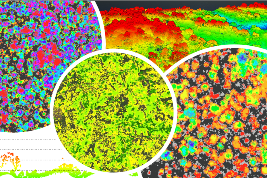
USES OF UAV IN FORESTRY: AN INSIGHT
Drone Deploy’s Blog
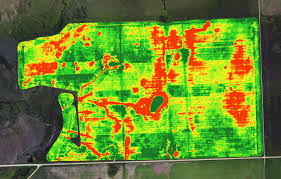
Quantifying Crop Trends with Drones and Accurate NDVI Mapping
Thermal imaging cameras: a fast and reliable tool for testing solar panels.
Top DJI Phantom 4 Pro Intelligent Flight Modes Reviewed
Drone based Solar Inspection
Tower Inspection through thermal imaging
Aerial Survey of Hilly Terrain/Dense Forest
Our first drone survey