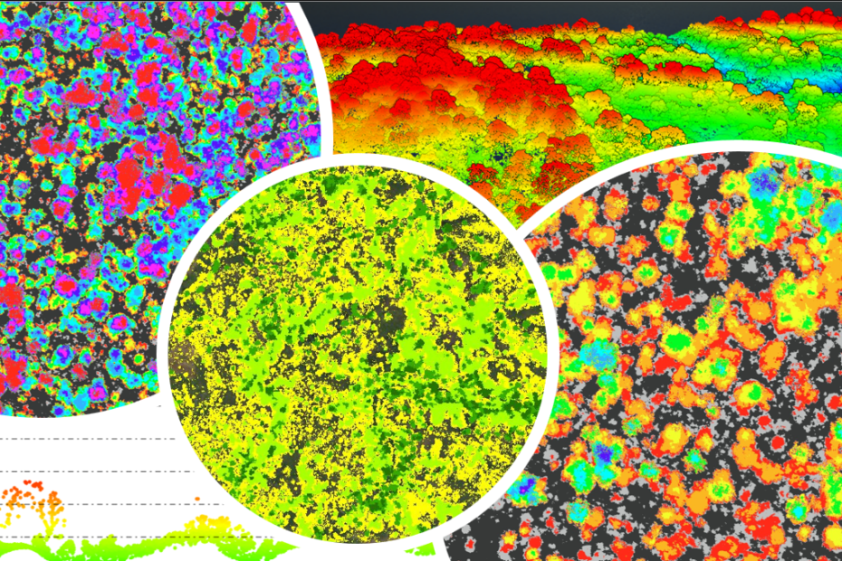
Forest Carbon Stock Estimation Using Airborne LiDAR
The forest carbon asset mapping survey is done using UAV/MAV-based LiDAR. In addition to the airborne survey, the team conducts a ground survey to calculate the DBH (Diameter Breast Height) of individual trees
